Overview
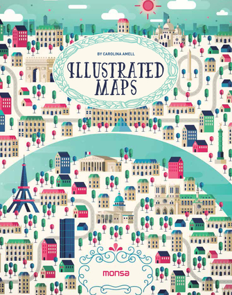
This book is a selection of different ways to interpret a map at the illustrative level. Several artists have created maps of the world´s most beautiful places and also its main cities, including Paris, Berlin, Dubai, Rio de Janeiro, and more. They are colorful illustrations in which each artist shows us his or her own way of working with lines and geometrical shapes, some very detailed or synthesized, some using computers or watercolors, and some simply using a pen.Author Biography
With more than 20 titles published, Carolina Amell is an experienced graphic designer who specializes in illustrated nonfiction books.

